Image ChatGPT Image 2
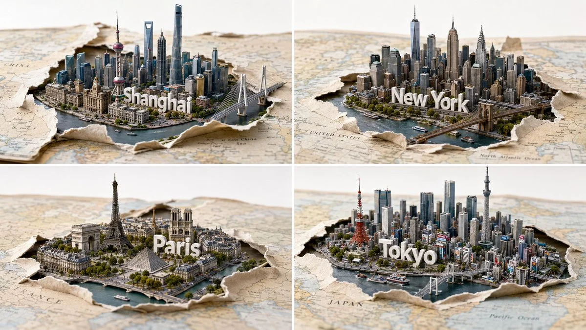
Paper map tears reveal a skyline of four iconic cities
A 2x2 grid shows four famous cities emerging from a torn paper map, with 3D wordmarks growing from streets and soft studio lighting.
Prompt
2x2 grid, 16:9, 4 famous cities A = { paper map layer: curled edges, tear region, fibers, layered stock } B = { city cluster: $LANDMARK_A..E + inferred iconic supporting buildings, street grid, greenery, guardrails } C = { 3D wordmark: $ CITY, organic extrusion from sidewalks/plazas } D = { lighting rig: softboxes, rim, negative fill } E = { seamless white background } SCENE = (A ∩ paper_physics) ∪ (B ∩ cityscape_model) ∪ (C ∩ typographic_terrain) ∪ (D ∩ illumination) ∪ (E) where: - B elements are arranged into a tight skyline via an attraction‑repulsion graph that maintains realistic scale cues. - The map tear is a subtraction (A \ intact_surface) with exposed paper layers as edge details. - Wordmark letters are grown from pedestrian paths using a diffusion‑limited aggregation from street network nodes. - Camera: 40mm equivalent, dynamic low angle with parallax between map and skyline. - Post: mild clarity, neutral white balance, shadow catcher. No neon.
Published: July 5, 2026 by Gadgetify